Pischa Trail
Multi-use trail for advanced ones

Address
Pischahorn
GPS
46.8131032, 9.9471228
Distance 14.3 km | Climb 773 m | Descent -1,102 m | Average time 02:50:00
Pischa Trail is a demanding single trail tour high above the Flüela valley with a magnificent view. Directly at the small church on Tschuggen, the trail climbs steeply and strenuous vertical meters follow. Shortly before the mountain station, the trail turns into a driveway and the slope becomes more pleasant.
From the mountain station (only in operation in winter) a tricky but fun single trail leads along the ridge and offers a magnificent view of the surrounding mountains. Before the last ascent to the Hüreli, the trail branches off to the right and leads in a beautiful flow over mountain meadows towards Drusatscha. One or two difficult sections have to be mastered before the Alp Drusatscha is reached.
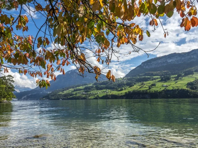
Finally, another single trail leads directly to Lake Davos or further towards Klosters.


