
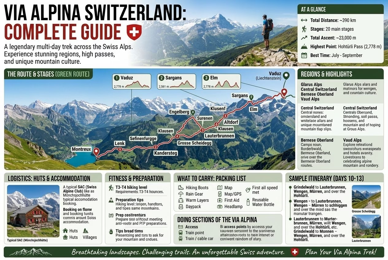
The Via Alpina is the long-distance hiking route across Switzerland from east to west, signposted as National Route 1 in the SchweizMobil network. It runs from Vaduz in the Principality of Liechtenstein to Montreux on Lake Geneva: about 390 kilometres in 20 stages, crossing 14 Alpine passes and seven cantons. Older guides quote 370 kilometres and 19 stages, so figures differ slightly by source; the SchweizMobil route pages carry the current stage division.
The Route Overview
The Swiss route is part of the international Via Alpina, a network of trails linking the Adriatic and the Mediterranean. On the Swiss side it follows the standard Swiss signposting, with the route number on the yellow signposts, and each stage is documented with a map, distance, and ascent on the SchweizMobil site (schweizmobil.ch, route 1).
The 20 stages range from about 12 to 29 kilometres, and several stages in the Bernese Oberland climb between 1,300 and 2,000 metres in a day. Walking every stage takes about 20 days, plus rest days; most visitors walk a few stages rather than the whole crossing.
The Stages and Regions
Eastern section (stages 1 to 7, Vaduz to Engelberg): Vaduz to Sargans, Weisstannen, Elm, Linthal, the Urner Boden, and Altdorf, then over to Engelberg. This part crosses the Glarus and Uri Alps, with limited tourist infrastructure, and is among the quietest parts of the route. The long stages here include Elm to Linthal (25 km), Urner Boden to Altdorf (27 km), and Altdorf to Engelberg (29 km).
Central section (stages 8 to 16, Engelberg to Gstaad): Engelberg to Engstlenalp and Meiringen, then the famous Bernese Oberland stretch: Meiringen to Grindelwald (23 km), Grindelwald to Lauterbrunnen (20 km), Lauterbrunnen to Griesalp (22 km), Griesalp to Kandersteg, Kandersteg to Adelboden, Adelboden to Lenk, and Lenk to Gstaad. This is the highest and most spectacular part of the route, with the Eiger, Mönch, and Jungfrau above the first stages.
Western section (stages 17 to 20, Gstaad to Montreux): Gstaad to L’Etivaz, Rossinière, and Rochers de Naye, then the final descent to Montreux on Lake Geneva. The route passes through the Vaud pre-Alps and finishes with views over the lake.
Doing Sections of the Via Alpina
Most visitors walk sections of 3 to 6 stages rather than the complete crossing. The most rewarding sections for visitors with limited time:
Stages 10 to 15 (Meiringen to Lenk): The classic Bernese Oberland section, often called the Bärentrek, over six stages. It passes Grindelwald, Lauterbrunnen, Kandersteg, and Adelboden, and includes the Bunderchrinde pass between Kandersteg and Adelboden. Most of the stage towns can be reached by public transport, which makes it easy to walk one section at a time.
Stages 4 to 6 (Elm to Altdorf): A quieter section through the Glarus and Uri Alps, for walkers who want wilder scenery and few other people.
Stages 19 and 20 (Rossinière to Montreux): The final stages through the Vaud pre-Alps, finishing at Rochers de Naye and descending to Montreux, which is easy to reach by train.
Logistics: Huts and Accommodation
The stages are designed to end at villages, mountain guesthouses, or SAC (Swiss Alpine Club) huts. SAC huts have dormitories with blankets (bring a sleeping bag liner), hot food, and a sociable atmosphere at the end of a long day. Reserve ahead in the July and August peak, particularly for the more popular stages.
The SchweizMobil route pages provide the stage-by-stage details, and they are the place to check current closures and diversions before you set out.
Fitness, Preparation, and What to Carry
The daily stages, with up to about 2,000 metres of ascent on the hardest days, require a solid level of hiking fitness sustained over consecutive days rather than one strong day out. Anyone planning a multi-stage section should have completed comparable single-day hikes beforehand, since the cumulative fatigue of back-to-back mountain days is a different challenge from an isolated hard day. The Hiking in Switzerland guide covers the equipment and safety principles that apply to any Alpine route, and they apply with extra weight to a multi-day crossing where retreat options are more limited.
Related: Hiking in Switzerland | Bernese Oberland | Mountain Safety | Plan Your Trip
Written by Laura Meier. Updated regularly as prices and conditions change. Corrections and updates are welcome at contact@allaboutswiss.com.